
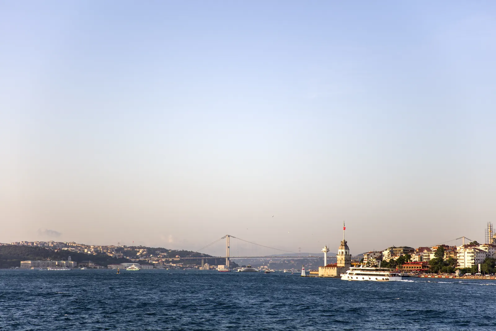
Bosphorus
The roughly 30-km strait linking the Black Sea with the Sea of Marmara and separating Europe from Asia.
Images: Envato (licensed)
Beşiktaş & Bosphorus · Not within walking distance
Why visit?
To see the city’s skyline across two continents from the water; Dolmabahçe, Ortaköy, Rumeli Fortress and the Maiden’s Tower are on its shores.
Short History
At its narrowest the Bosphorus is about 700–750 metres wide. Its bridges opened in 1973 (15 July Martyrs), 1988 (Fatih Sultan Mehmet) and 2016 (Yavuz Sultan Selim); Marmaray (2013) and the Eurasia Tunnel (2016) run beneath it.
About
The Bosphorus divides the city into its European and Asian sides. Palaces, waterside mansions, mosques and fortresses line its shores; three suspension bridges and two tunnels connect the two sides. The easiest way to see it is by ferry or boat.
What to know before visiting
No special notices.
How to get here from Meşale
We have not yet checked a public-transport route to this place on the ground. The map links below give directions with current timetables; we do not quote taxi times because they depend on traffic.
Your map app calculates the time from live traffic, so we don't print a fixed figure here.
Our walking routes stay within Sultanahmet; this place is reached by public transport.
Get DirectionsView on Google MapsReservation at MeşaleVisit Information
- From Meşale
- Public transport · 15 km as the crow flies
- Area
- Beşiktaş & Bosphorus
- Hours
- Open area
- Ticket
- Free
Highlights
- Bosphorus views from the ferry
- Three bridges
- Palaces and fortresses on the shore
Tags
Source & Freshness
- Source:
- Wikipedia — Bosphorus
- Sources:
- Last checked:
- November 8, 2026
Hours and prices are for guidance only. Please confirm with an official source before your visit.