
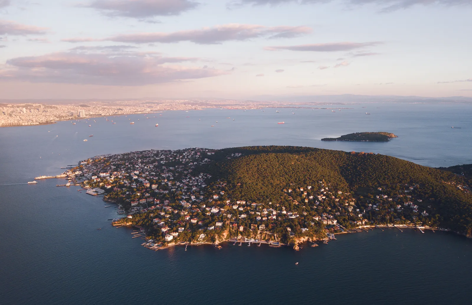
Princes’ Islands
An archipelago of nine islands in the Sea of Marmara, linked to Istanbul by ferry; the largest is Büyükada.
Images: Envato (licensed)
Princes’ Islands · Not within walking distance
Why visit?
To spend a day on car-free streets away from the city’s crowds and enjoy the ferry ride.
Short History
The name “Princes’ Islands” comes from royalty exiled here in Byzantine times and, after 1453, from the Ottoman dynasty. Today they form Istanbul’s Adalar district.
About
The Princes’ Islands lie 13–25 km off the Istanbul coast in the Sea of Marmara. The four large islands are Büyükada, Heybeliada, Burgazada and Kınalıada. Apart from service vehicles such as ambulances and police cars there is no motor traffic; the islands are explored on foot, by bicycle or in electric vehicles.
Ferries leave from Kabataş and Beşiktaş on the European side and from Bostancı, Kadıköy, Kartal and Maltepe on the Asian side; check current timetables on the official site.
What to know before visiting
No special notices.
How to get here from Meşale
We have not yet checked a public-transport route to this place on the ground. The map links below give directions with current timetables; we do not quote taxi times because they depend on traffic.
Your map app calculates the time from live traffic, so we don't print a fixed figure here.
Our walking routes stay within Sultanahmet; this place is reached by public transport.
Get DirectionsView on Google MapsReservation at MeşaleVisit Information
- From Meşale
- Public transport · 20.3 km as the crow flies
- Area
- Princes’ Islands
- Hours
- Reached by ferry · current timetables on the official site
- Ticket
- Free
Highlights
- The ferry ride
- Car-free streets
- Büyükada, Heybeliada, Burgazada, Kınalıada
Tags
Source & Freshness
- Source:
- Wikipedia — Princes’ Islands
- Last checked:
- November 8, 2026
Hours and prices are for guidance only. Please confirm with an official source before your visit.